Map appears off-centered
Answered
Hello,
Please bear with me as I'm somewhat new to Yellowfin.
I'm trying to create a map chart using postcode in the report builder, and whenever I place my geography dimension in - it creates the map off center. I've done my best to look through the other posts, but haven't found anything indicating a way to move the map around or set default zoom.
I've attached a screenshot for reference.
Thank you.
Files:
Screenshot_1.png
 The same question
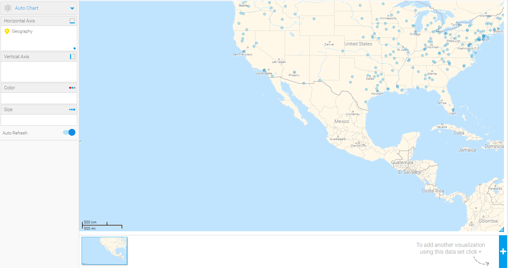
Hi Evan,
you can set a default zoom by going to Chart Settings->GIS Boundaries and then setting the Latitude and Longitudes values as you wish.
For example, if I start off with a world map as such as
and wish to set a default zoom around America then I could do something like this:
Hope that helps!
regards,
David
Hello David!
Thanks very much for your reply. That looks like exactly what I'm looking for, but I don't see those settings in that menu:
Chart settings for that chart:
It may be of note that in this case I'm using the US Zipcode Pack. Not sure if that changes anything.
Hello David!
Thanks very much for your reply. That looks like exactly what I'm looking for, but I don't see those settings in that menu:
Chart settings for that chart:
It may be of note that in this case I'm using the US Zipcode Pack. Not sure if that changes anything.
Hi Evan,
thanks for the screenshot, I see you are using AutoChart, to get the GIS Boundaries option you will need to use one of the GIS charts such as GIS Map:
I would also like to draw your attention to our map documentation in our wiki which contains lots of useful information, videos and tutorials.
regards,
David
Very good info. Thanks for all your help!
I'll go review all of the documentation.
Very good info. Thanks for all your help!
I'll go review all of the documentation.
Replies have been locked on this page!